Route 66
Travel Along the Top of the Escarpment and Take Your Bike North

Usage |
Multi UseType of Trail |

Difficulty |
20mDuration |
1.6kmLength |
41mElevation |
|---|
|
Usage |
Multi UseType of Trail |
|---|---|

Difficulty |
20mDuration |
1.6kmLength |
41mElevation |
Hours Of Operation
DAILY
9AM - 9PM SEE FULL HOURS rich-text, responsive-table
9AM - 9PM SEE FULL HOURS rich-text, responsive-table
What to Expect
 rich-text, responsive-table
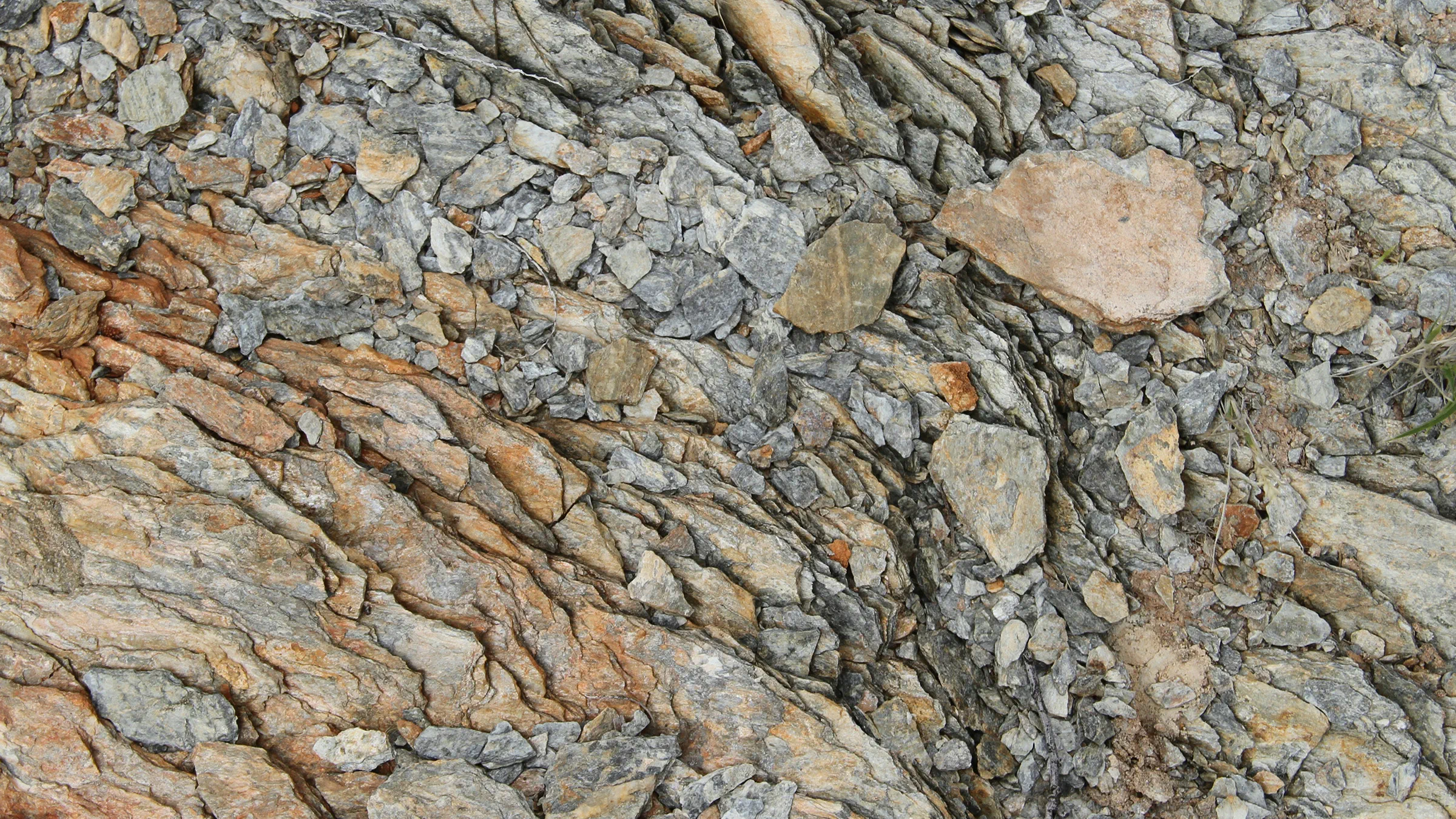
Shale
 rich-text, responsive-table
Tree Covered
 rich-text, responsive-table
Packed Dirt
Navigating the Trail
Access this trail from the Mountaintop at Trail Head 27, just a short walk from Summitview Restaurant. Follow the blue blazes to complete the trail at Point 33.
rich-text, responsive-tableExtend your hike on Cagey & Outer Limits (Approx. 50 Mins)
If you’re eager to hike a bit further, follow the orange blazes from Point 33 to complete the Cagey loop and return to the summit via Route 66. Additionally, continue straight from Point 34 on Cagey (about half way) following the yellow blazes to Outer Limits. This loop will return you to Trail Head 35 where you can complete your hike on Cagey.
Connecting Trails


How to Access the Trails


Need a Map?
Familiarizing yourself with the route ensures a smooth and safe adventure.Check out our Explore Park map or pick up a printed map at Guest Services when you arrive.

Hiking Education Guide
If you're interested in setting out for the first time or looking for a refresher, this guide has all the information you need to enjoy your day on the mountain!